top of page
WW2 AERIAL RECON STUDIES
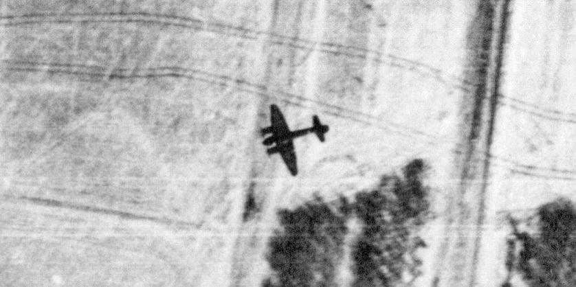
Ju 88 Attacking Soviet Tanks South of Slavgorod, Ukraine on 21 February 1943
Areas & Topics
"Every Picture Tells a Story"
Observations & Analysis From World War II
Aerial Photography


bottom of page
Observations & Analysis From World War II
Aerial Photography